Bottom line: who this is for
Good fit: hikers with regular training who can handle an overnight mountain route and are willing to deal with applications, lodging, transport, and weather checks before the trip.
Not a good fit: a first overnight hike, a last-minute plan, or a summit-first mindset with no retreat criteria. Yushan is popular, but popular does not mean casual.
How to use this page: check suitability first, then applications, transport, itinerary, and safety. Zoe's full field notes will be added after the actual notes are organized.
Route overview
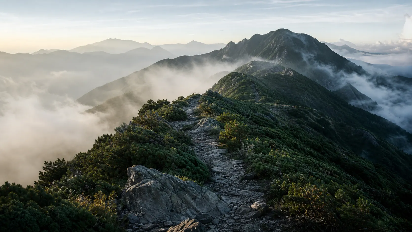
Yushan Main Peak is Taiwan's highest mountain at 3952m. The common two-day route starts from Tataka trailhead, reaches Paiyun Lodge on day one, then starts before dawn for the summit on day two before returning the same way. Official public information describes the out-and-back main-peak route as about 21.8K total, with Tataka trailhead to Paiyun Lodge about 8.5K.
This page focuses on the two-day Paiyun Lodge version. A one-day push and multi-peak routes are separate articles.
Applications and lodging
Yushan is not a route where you simply arrive at the trailhead and start walking. Check park entry applications, Paiyun Lodge lodging rules, or day-hike rules before planning dates. Use the official systems first:
Paiyun Lodge availability, lottery, waitlist, payment, and lodging rules can change. This draft does not freeze bed counts or fees; check the official pages before using the article for planning.
Sample itinerary: two days and one night
Day 1: Trailhead to Paiyun
This day is about steady pacing, altitude adjustment, and saving energy for the pre-dawn summit push. The route from Tataka trailhead to Paiyun Lodge is about 8.5K. The trail is clear, but altitude can already affect sleep and appetite.
Confirm before sleeping: water, warm layers, headlamp, snacks, and what you will wear before dawn.
Day 2: Paiyun to the summit
Start in the dark, summit, return to Paiyun, pack up, and descend to the trailhead. The summit is not the finish; the long descent is still part of the work.
Common risks: poor sleep, strong wind before dawn, limited headlamp visibility, late descent, and relaxed attention on the way down. If weather or body condition is poor, the summit should not be treated as mandatory.
Transport and permits
Transport has two parts: getting to the Tataka area, then handling parking or shuttle access to the trailhead. Schedules, shuttle operations, and nearby lodging can change by season, so re-check before departure.
Minimum planning list:
- Where to stay the night before and what time you can reach Tataka.
- Whether you need a shuttle from Shangdongpu parking to the trailhead.
- Whether your descent time still connects to your return transport.
- Whether park entry, lodge booking, and team details are complete.
- Whether offline maps, emergency contacts, and weather checks are ready.
Difficulty
Fitness: moderate and above. The distance is not extreme, but day two combines a pre-dawn summit push with the full descent.
Technical movement: not a climbing route, but you need to walk steadily in darkness, wind, loose rock, and high altitude.
Altitude: Paiyun Lodge is above 3000m and the summit is close to 4000m. Headache, nausea, poor sleep, and loss of appetite are signals, not personality tests.
Mindset: getting a lodge spot does not mean you must summit. Good mountain judgment includes stopping.
Safety and preparation
Must bring:
- Headlamp and spare batteries
- Warm layer, rain shell, gloves, beanie
- Snacks, hot water, or a thermos
- Offline map / GPX
- Personal medication, small first-aid kit, insurance, emergency contacts
Easy to underestimate:
- Pre-dawn wind exposure
- How poor sleep changes pace and mood
- How long the descent feels
- Post-hike transport timing
Women / solo / small-group note: Yushan is popular, but that does not remove risk. Agree on retreat criteria, meeting points, time checks, and who watches each teammate's condition.
Cost
This draft does not publish one fixed total because lodge costs, food, shuttle, pre-hike lodging, and insurance can change. The final article should split costs into:
- Application / lodge or lodging-related fees
- The night before
- Transport and shuttle
- Meals and trail food
- Insurance
- Gear rental or last-minute gear purchases
If you only price the mountain itself, you will undercount the trip. Budget from home to Tataka and back.
Water, lodging, and resupply
Paiyun Lodge is the core point of the two-day route. Water, sleep, food, and lodge rules can all affect day two. Before departure, confirm the lodging rules, food arrangement, how much water to carry, and what you can actually eat before dawn.
Zoe's actual version will be added later: what I carried, what I ate, what worked, and what I would skip next time.
Common mistakes
- Treating the summit as the finish and forgetting the long descent.
- Reading "non-technical" as "easy."
- Planning lottery, lodge, and transport in separate places instead of one timeline.
- Starting too late and creating pressure on the descent.
- Underpacking for pre-dawn wind.
- Not defining retreat criteria.
Checklist
- Park entry / lodging / team details confirmed
- Night-before lodging confirmed
- Tataka transport and shuttle confirmed
- Weather and trail condition checked
- Headlamp and spare batteries
- Warm layer, shell, gloves, beanie
- Snacks and hot water
- Offline map / GPX
- Insurance and emergency contacts
- Retreat criteria
Field note
This section is reserved for Zoe's actual record. Taiwan's highest peak sounds like a large goal, but the memory may be smaller: wind, light, and the rhythm of walking upward one step at a time.
Sources
- Yushan National Park reservation page
- Taiwan hiking application portal
- Taiwan National Parks: Climbing Yushan
Checked on 2026-06-06. Applications, lodging, transport, and fees can change; always verify through official pages before departure.